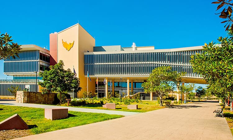

Master of Spatial Science Technology (Geographic Information Systems) at University of Southern Queensland
Toowoomba, Australia
- Tuition Fee AU$ 35,200
- Country Rank-
- Duration24 Months
- Score IELTS: 6.5 TOEFL: 90
Program Overview
- UniSQ's Master of Spatial Science Technology (Geographic Information Systems) is ideal if you have a three or four-year bachelor degree and you want to extend your knowledge in Geographic Information Systems (GIS).
- Through this flexible 16 unit master’s degree you have the option to select GIS courses, including web-based geographic information systems, land studies and photogrammetry, as well as courses from related disciplines such as sustainable development, information systems and technology management.
- Develop research methodology skills to complete a research project. Previous student projects have included mapping remnant vegetation in Western Downs, Queensland using high resolution ALOS satellite data.
- The research project and dissertation is a stepping stone to further research degrees such as a PhD.
Cost Of Studying At University of Southern Queensland
Interest rates as low as 8.9% *
250K+
Students Assisted
800Cr+
Loan Amount Disbursed
5000+
Loans Sanctioned
Check Loan Eligibility
Powered by 